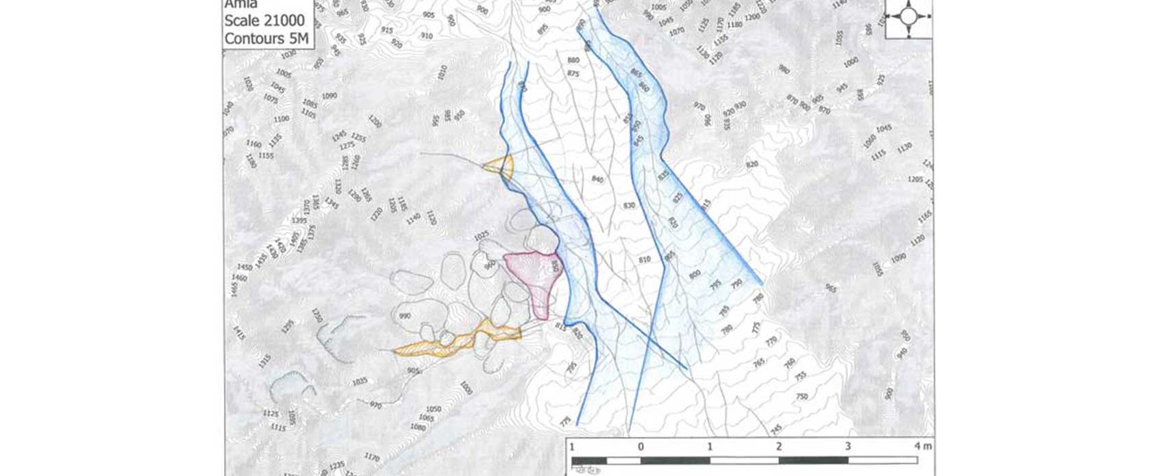
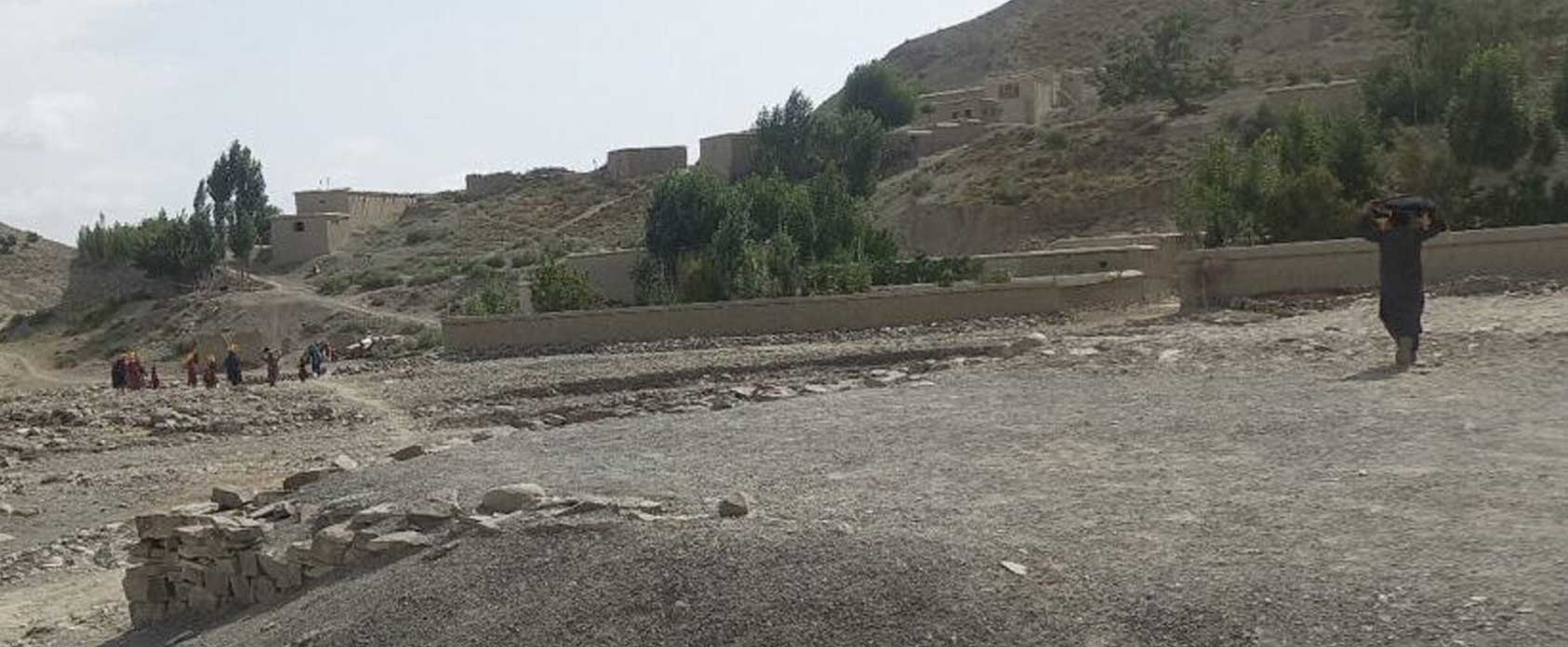
Community World Service Asia, in collaboration with CWS Japan and Japan Conservation Engineers, Co. Ltd. is implementing community DRR project in Afghanistan that involves technology transfer of hazard/DRR mapping from Japan. The project uses free open-source software called QGIS with free data that is available, and it trains government staff, community representatives, academia, and NGO colleagues in scientifically analyzing hazard risks (e.g. flood and landslide), converting into risk communication tool, and to reflect it into community’s DRR plans.
The project also identified the need to look into enacting necessary legal measures that are hazard specific, so that when high-risk areas are identified, legal measures can be taken by the local authority. Furthermore, in order to continuously nurture such expertise in Afghanistan, the team is in discussion with academia and Afghanistan National Disaster Management Authority (ANDMA) on potential launching of academic program focusing on hazard/DRR mapping technology and know-how.